
Free shipping on all orders
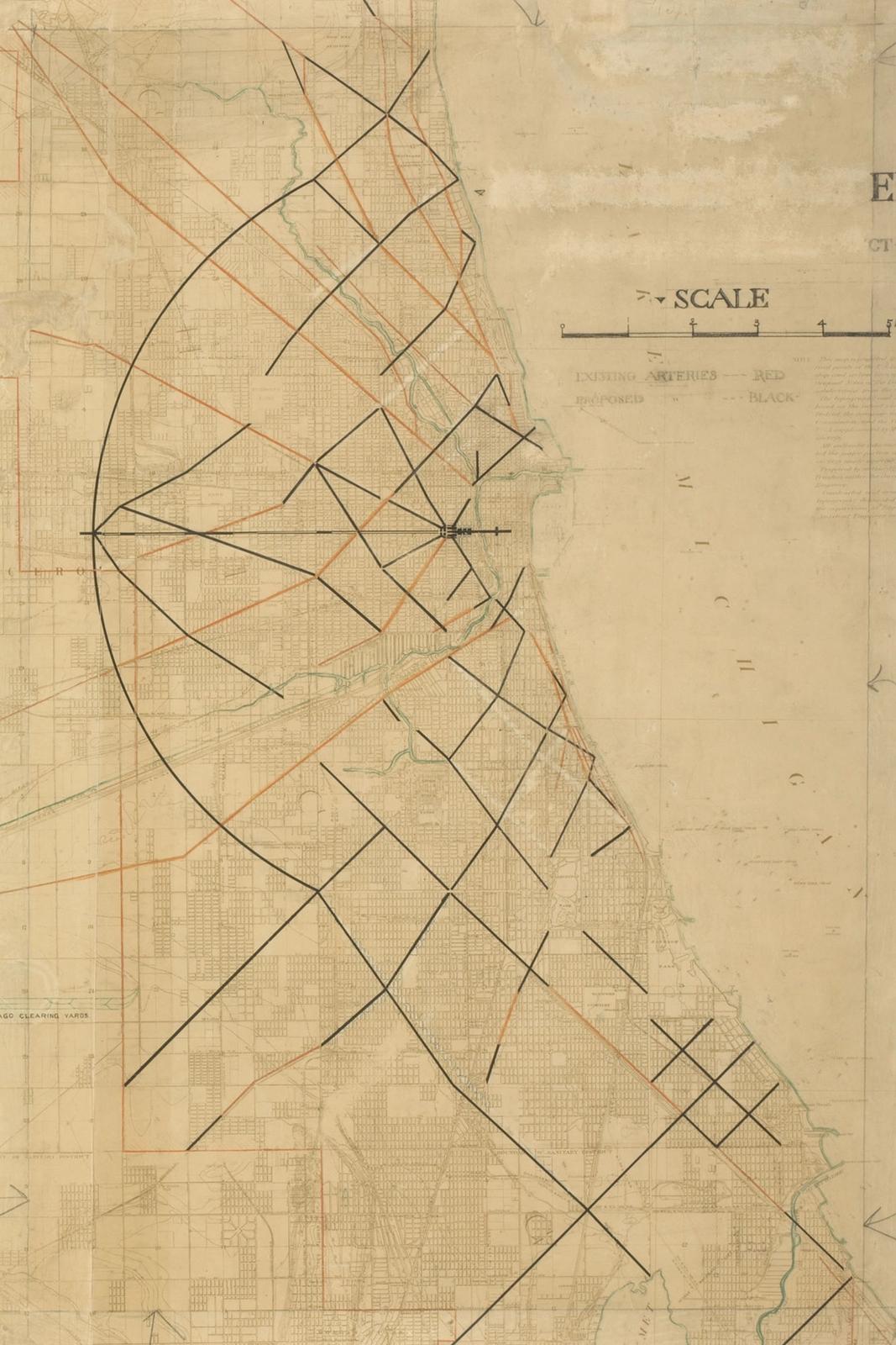
A printed map of Chicago marked up in ink, graphite and colored pencil with proposed diagonal streets slicing across the grid. It comes from Daniel Burnham and Edward Bennett's 1909 Plan of Chicago, one of the most ambitious city plans in American history. Urban planning as a cross country road trip, for people who think in street grids.
