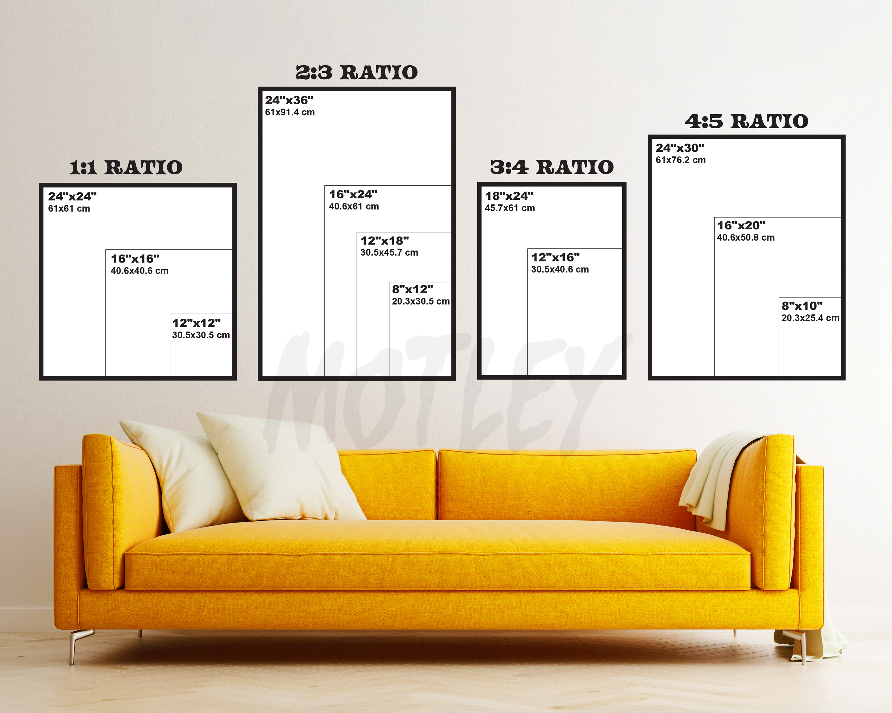
Each piece is printed on premium archival paper with rich inks for vivid color and crisp detail. Sizes are standardized to keep things simple and affordable.
About this print
A diagram of central Chicago showing proposed passenger stations, rapid transit, subway, elevated roads and a circuit subway line. Colored ink and paint were laid directly over a printed map for the 1909 Plan of Chicago. It is a transit map from the future, made by people who genuinely believed a city could be organized.